
North Attleborough Neighbor Source Map
Block research begins with a source that can be tied to one parcel. North Attleborough MapGeo can orient an address among adjoining property polygons. Vision can provide the assessment context, and the Northern Bristol County Registry of Deeds can connect a party to a recorded document. These sources are strongest when their dates agree. They do not combine into a public roster of everyone who lives on a block.
| Source | What It Shows About a Block | Access |
|---|---|---|
| North Attleborough MapGeo | Parcel polygons, property and zoning themes, adjoining parcels, map position | Free client-side viewer; live fields and layers can change |
| Vision assessment portal | Owner or co-owner, situs, mailing address, value, sales, and parcel features | Public assessment portal; owner and occupant are different facts |
| Northern Bristol County Registry | Recorded deed parties, book and page, document date, and images | Free index and image viewing; certified copies through the Registry |
| Town voter records | Individual registration or locally released list fields subject to restrictions | State tool is individual-only; local lists require a focused request |
| Historic district material | Development context, former street names, and historic building relationships | Town historical pages and library research; not a current occupant list |
The key distinction is owner of record versus occupant. A deed or assessment card may name an owner, trustee, corporation, municipality, or an owner who receives mail elsewhere. A parcel can also be vacant. Do not state that a recorded owner, a mailing recipient, or a permit applicant is one of the current North Attleborough neighbors without a separate, dated source that supports occupancy.
Map North Attleborough Abutting Parcels
The observed MapGeo address includes an abuttersDistance=300 parameter, property data, a zoning theme, coordinates, and map zoom. That supports a radius-oriented abutter workflow, but the viewer is client-side. Record the layer, map date, address, and parcel identifier from the live screen instead of assuming that every view exposes the same field or distance.
The North Attleborough MapGeo parcel viewer is the official map source for this parcel-adjacency step.
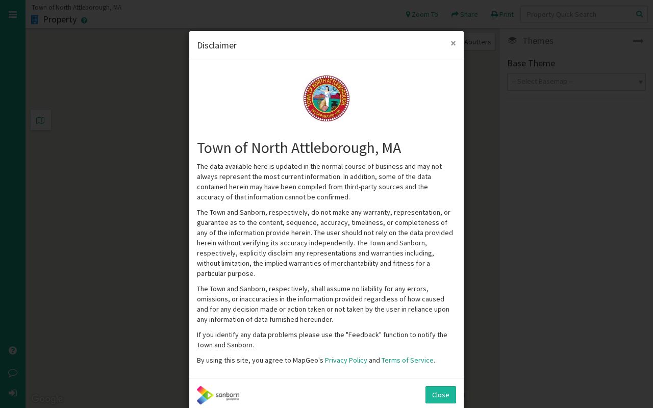
The displayed map is a starting point for identifying adjacent parcel IDs. It does not itself establish a household or an ownership date.
- Search the subject address in MapGeo, then capture the exact property or parcel identifier and the map date.
- Click the parcels that touch or fall within the selected abutter distance. Record each situs address and identifier separately.
- Open the corresponding Vision card to compare the owner of record, mailing address, and sales history with the map result.
- Use the Registry party or street inquiry for a recorded-land trail. For a full named-street record chain, use the North Attleborough street directory rather than treating a short-radius map as the whole street.
North Attleborough Neighbors: Owner or Occupant
Parcel terms answer different questions. A situs address is the location of the real property. A mailing address is where the assessment notice is sent. A deed identifies the parties to a legal transaction. A directory entry, when dated, may place a household at an address for that edition. None should be silently substituted for the others.
- Parcel
- A mapped unit of real property used by the assessing and GIS systems. The local parcel format should be copied from the live card, not guessed.
- Abutter
- An owner or parcel near a subject property for notice or map purposes. An abutter list is not a block-wide resident roll.
- Situs
- The physical property location. It can differ from the owner mailing address.
- Recorded owner
- The person or entity named in a recorded-land document or assessment context. Confirm the document date before describing ownership.
The town Assessors page provides an abutter-list route. If the online information does not answer a defined parcel question, ask the office for its current list definition, format, fee, and record date. A formal list may still be limited to ownership and parcel information. It should never be recast as proof of the current residents of nearby homes.
Recorded-land work adds a second date to the parcel trail. The Registry Street Inquiry uses a start date, end date, document type, street number, street name, and town. Its own warning says that older documents may not contain a street number or name. Search the party name as a companion route, including sensible spelling variants, and retain the book and page or document number with the result. That process confirms a recorded transaction, not a present household.
North Attleborough Neighbor Voter Limits
Massachusetts does not provide a public browse-by-address voter tool for finding neighbors. The individual Voter Registration Search requires first name, last name, date of birth, a five-digit ZIP, and agreement to the search terms. North Attleborough Elections may provide locally released voter lists or annual Residents' Listed Books, but a request must identify the year and format and is subject to confidential-voter protections.
The Massachusetts voter-information access rules describe the limits on ordinary public voter fields.
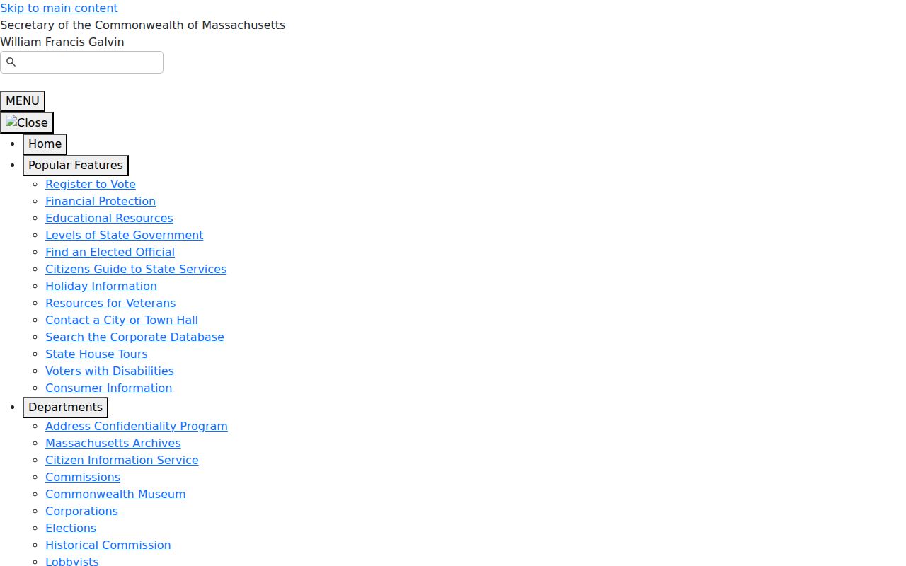
Do not use an absent entry to decide that someone is not local. Confidential registration can use a substitute number, and ordinary public fields exclude information such as phone, email, veteran status, permanent-absentee status, and minors or pre-registrants. The Address Confidentiality Program adds a separate protection for eligible participants.
North Attleborough Neighbor Civic Contacts
Community sources can provide context for a block, but they do not create an association roster. The Town of North Attleborough Community page is a general service hub. The Historical Commission identifies several local-history organizations, yet the research did not locate an authoritative public directory of neighborhood associations or member lists. Contact a public organization through its official route and ask about its public programming or records, not about private membership.
| Civic resource | Official contact route and block value | Roster status |
|---|---|---|
| Town Community information | Town of North Attleborough Community page; service and community routing | No neighborhood-association directory identified |
| Historical Commission | Town Historical Commission; district and local-history contacts | No public member roster located |
| North Attleborough Historical Society | Named by the Historical Commission for local-history context and collection referrals | Separate public holdings or member directory not located |
| Falls Fire Barn Preservation Society | Named local organization for Commonwealth Avenue and manufacturing context | Public member records not located |
| Mount Hope Cemetery Association | Local historical and cemetery contact route | Not a neighbor roster; online interment search not located |
The Town Community page shown below is useful for public civic routing, not for identifying residents of a block.
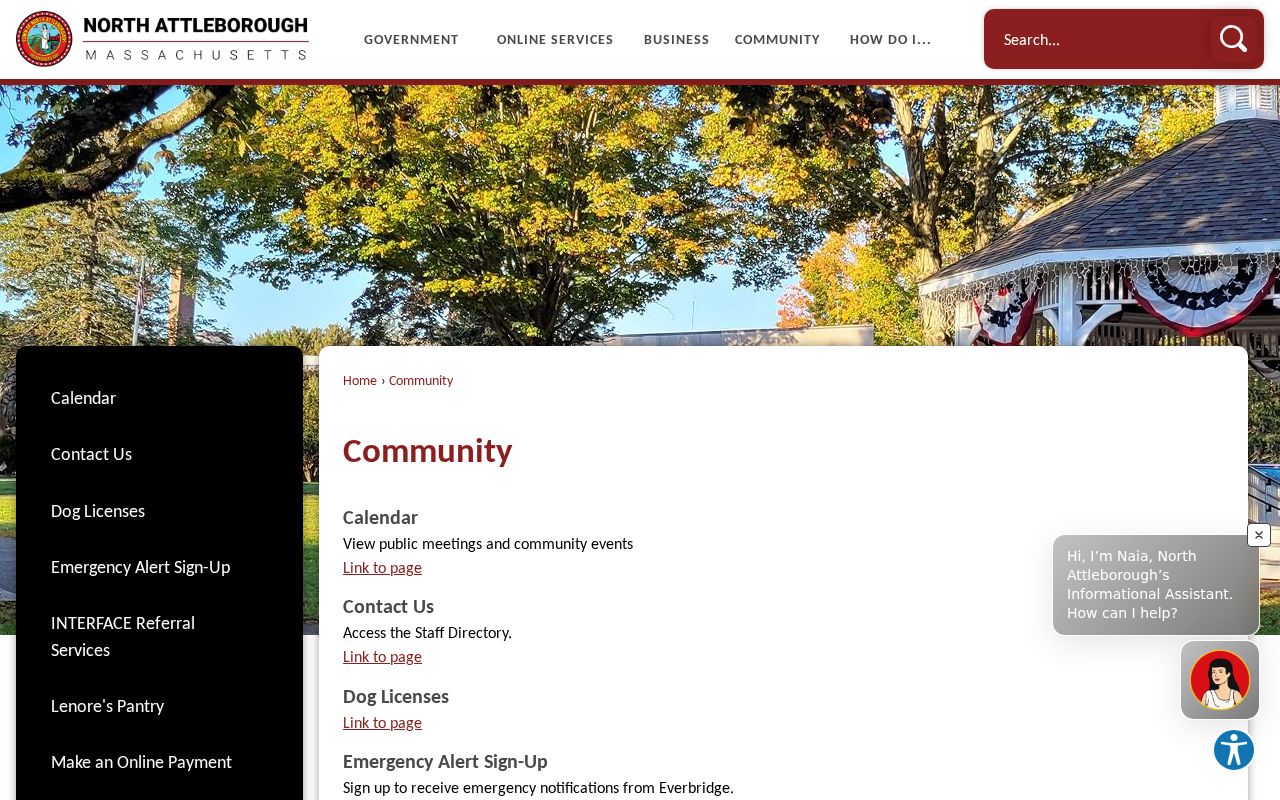
Public agendas, library programs, and historical groups may document a meeting, event, or district. They do not establish where an attendee lives and should not be mined into a neighbor list.
North Attleborough Historic Block Context
Historic districts are a useful geography layer for North Attleborough neighbors. The town identifies Commonwealth Avenue, Cottage-Freeman, High-Church-Gould, Towne Street, and Attleboro Falls/Towne/Mount Hope among its National Register listings. Those pages can explain development patterns, former street names, and the relationship between homes and former industrial areas. A designation describes an architectural or historical setting, not a present-day household.
The Cottage-Freeman historic-district page provides the local context for the neighborhood image below.
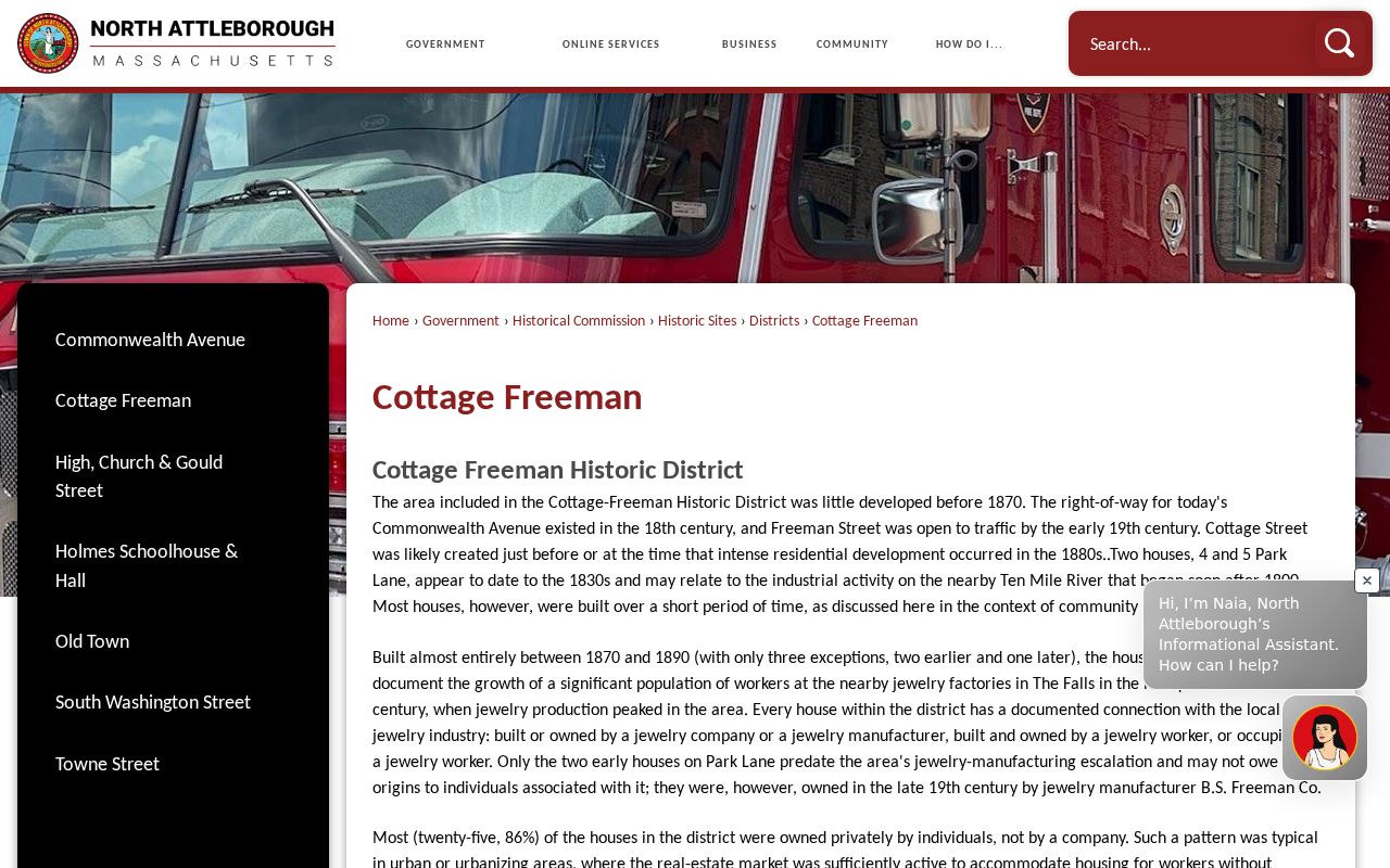
Cottage-Freeman developed densely from 1870 to 1890 and is connected to local jewelry-industry workers in the town's historical material. Use that information to date a building or directory clue. Do not use it to infer a current neighbor's personal history.
North Attleborough Neighbor Source Comparison
Official records and commercial neighbor-lookup categories serve different purposes. Official sources disclose the particular record they hold and provide a custodian for correction or certified copies. Commercial categories may compile public and purchased data, use unclear dates, and offer opt-out processes, but they cannot replace an official parcel card, deed image, or voter-access rule.
| Official record path | Commercial neighbor-lookup category | How to use the result |
|---|---|---|
| MapGeo and Vision parcel records | Compiled address profiles | Use the official parcel identifier and assessment date; treat compiled data as an unverified lead. |
| Registry deed index and images | Mixed ownership histories | Confirm parties, recording date, book/page, and document type at the Registry. |
| Voter rules and focused local requests | Broad people directories | Follow the public-field and confidentiality limits instead of trying to reverse an address. |
A careful comparison should state what each source proves, when it was created, and which custodian can answer a correction question. That keeps a North Attleborough neighbor inquiry tied to a document rather than an unsupported combined profile.
North Attleborough Neighbor Privacy
Use the Massachusetts Public Records Law, M.G.L. c. 66 §10, only for a focused request to the custodian that maintains a non-exempt record. Requests may be written, emailed, mailed, or delivered in person. State the parcel, record series, date range, and preferred format. The law does not displace court restrictions, protected voter registration, Address Confidentiality Program safeguards, or other statutory limits.
Lawful use. North Attleborough neighbor research can support civic curiosity, family or property history, and personal safety awareness. Do not use parcel, voter, or civic information to watch, stalk, harass, intimidate, or harm anyone.
Minimize personal data in notes and publish only the parcel-level fact needed for a legitimate record question. If a map or office response does not provide a field, leave it unknown. A missing person name, private mailing detail, or unavailable civic roster is a boundary to respect, not a puzzle to solve.
Note: Owner names, mailing addresses, and situs addresses should remain distinct in every North Attleborough neighbor record trail.